Location
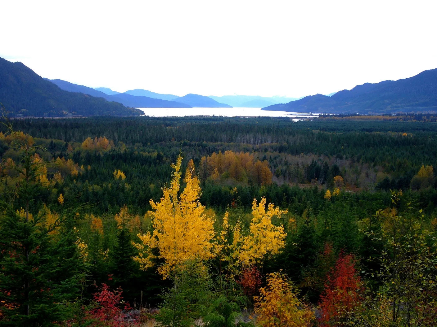
Kitimat is a Pacific Rim gateway located approximately 650 km northwest of Vancouver and 110 km east of Prince Rupert. Kitimat sits at the head of Kitimat Arm, a wide fjord that extends northeast from Douglas Channel. The surrounding Coast Mountains create a sheltered harbour 96 km from open water, suitable for deep sea transport. A predominantly flat valley more than 5 km wide connects Kitimat to Terrace, 60 km to the north.
Places to See
Endless recreation & leisure opportunities await you in Kitimat. Fish the Douglas Channel, hike Mount Elizabeth, or relax at the newly renovated Sam Lindsay Aquatic Centre. Kitimat has 3 natural hot springs within 100KM of the town centre. However, not all are easy to get to: all of the hot springs are located on the ocean shores, and are accessible by boat or float plane only. Adventurers can, however, expect to soak in the naturally mineralized, soothing water, while taking in the wilderness views, and if lucky, watch eagles fly above and whales and seals play in the sea.
History
During the early 1950’s the bay was used by the large international construction firm Morrison Knudsen as an operational beach head for their work with the Aluminum Company of Canada on the Kitimat smelter and the Kemano power development project. As a result the area became known as the MK site and the name has stuck to this day (an abbreviation for Morrison Knudsen). During the 1960’s and 1970’s the bay was extensively used for log barge loading and booming ground for Crown Zellerbach’s Kitimat Valley logging operation.
After several years of investigation and consultation involving numerous community and stakeholder groups it was recommended the Regional District build MK Bay Marina in 1976. Alcan provided the Regional District with a 4 acre parcel of land to cover the upland property needs and Eurocan Pulp & Paper and Crown Zellerbach relinquished their foreshore leases over the water lot areas required.
Mk Bay Marina was constructed as a 100 berth marina for approximately $350,000 with work in kind by Crown Zellerbach. Close to $100,000 of that amount came from a Province of BC Community Recreational Facility Fund grant, and a Federal L.I.P grant. The engineering firm of Swan Wooster and the Federal Government’s Small Craft Harbours Branch had recommended extensive dredging to develop a protected marina. The decision at the time was to avoid huge unaffordable dredging costs and build the marina on deep water anchors and cables instead of on piles. A small 300ft rubble rock breakwater partially slipped away during construction due to the steep underwater slopes and was not replaced because of further failure concerns.
The Regional District operated this facility until late 1980’s under a contract management arrangement with Custom Sports Center. Don Pearson was the first Marina Manager. Services provided during this period included moorage, upland boat storage, boat launch, haul out and grid, fuel, retail sales, and a restaurant called the Crow’s Nest. The water and electrical services on the float system were rudimentary and very limited during that period.
The marina served the basic needs of the community for the next 10 years. By 1988 the marina had deteriorated to a sorry state and was in need of an extensive upgrade. Age of structure and exposure to unrelenting wind and wave had taken its toll.
The Regional District worked closely with senior government officials and arranged for close to$2,000,000 in funding from the Federal and Provincial Governments ($1,100,00 Federal Small Craft Harbours Grant, over $700,000 in a Provincial GO BC Grant) to help fund the $3,000,000 plus redevelopment project and the creation of a new 140 berth marina. This took about three years to achieve with the final grant disbursement coming in April 1993. Marina operations continue to self-finance the funds required to maintain and upgrade this facility.
Major work consisted of dredging over 100,000m3 of material from what used to be part of the upland area to create a protected shallow basin. ($800,000 Small Craft Harbours, Kildala Road Construction Ltd. and Lux Construction). The marina had completely closed during 1990 to allow this dredging to occur. Dredged material was used to help the Haisla reclaim adjacent Kitimaat Village lands lost to erosion by Wathl Creek and to meet associated parking, boat storage and camping opportunities associated with the marina. Construction of a new floating concrete breakwater (Pacific Pile Driving Ltd over $430,000) and a new float system (Bullco Marine Ltd around $539,000) all set on piles was completed in the spring of 1991.
Much of the required ancillary infrastructure was completed in 1991, and involved a revamped fueling system, electrical hook ups and lighting system to floats and connection to the Kitimaat Village Community water system to meet water needs.
At the beginning of 2014 a new fuel barge was brought from Prince Rupert to replace the old fuel dock that was in very bad condition due to age and extreme weather exposure. Work is proceeding at this time on repairs to the outer breakwater.